Page History
...
The ASTER GDEM Greyscale Shaded Relief layer (above) shows surface elevation as shaded relief in shades of grey.
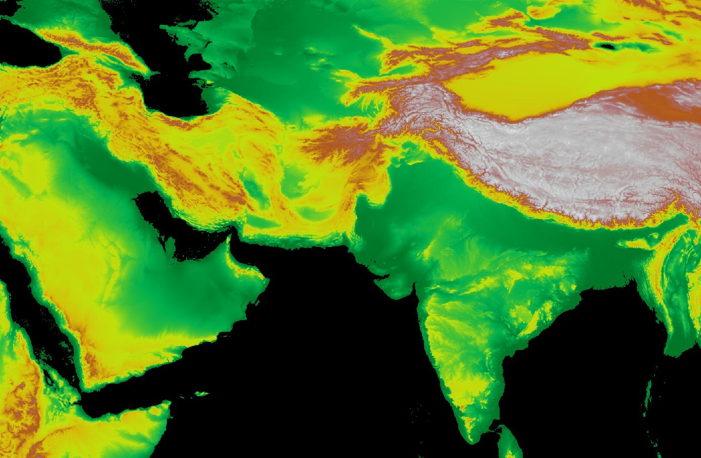
The SRTM Color Index (above) and ASTER GDEM Color Index layers show land elevation around the world, measured in meters. On the default palette, white indicates the highest elevations, then brown, yellow and greens indicate low elevations.
...
Overview
Content Tools
