Page History
In collaboration with NASA's IMPACT project, dynamic false color imagery is now available through FIRMS to help better delineate burned areas.

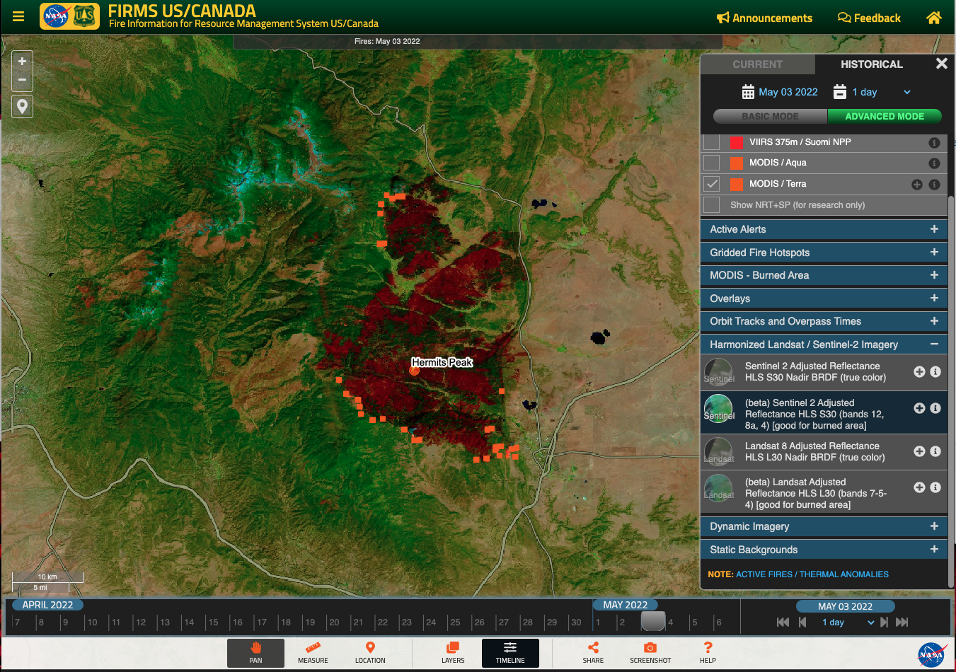
A screenshot from FIRMS US/Canada displaying the Landsat Sentinel-2 Adjusted Reflectance Harmonized Landsat Sentinel (HLS) using bands 712-58a-4. It shows the Crews Gap Hermits Peak Fire in TexasNew Mexico, USA as captured on 15 March 3 May 2022. In this image, the burned areas appear in brick red and are overlain with active fire pixels from MODIS and VIIRS. (Link to view in FIRMS)
...
Overview
Content Tools