Blog
search
attachments
weblink
advanced
Overview
Content Tools
There has been a rapid expansion of point cloud data from such sources as ICESat, GEDI, etc., together with the increasing availability of cloud-based data storage and processing options offered through AWS, Google Cloud, Microsoft Azure, etc. Within this context, the ESDIS Standards Office (ESO) has performed a review of existing and emerging point cloud data formats, content organization schemes, and services to support this expanding arena. This White Paper examines current considerations and best practices and suggests that further community investigation and discussion is needed. It also recognizes a need for more quantitative assessments and trade studies in this area.
The abstract is below, and a full version of the paper is available here.
ABSTRACT:
Point cloud data, representing an extremely dense set of data points with known positions, has traditionally been the purview of commercial applications like laser scanners and photogrammetry software. However, the application of point cloud data in Earth science is growing, with applications using current space-based lidars being among the best examples. More point cloud data requirements are expected to arise for future NASA missions as well. Thus, understanding the implications of point cloud data and related services for storage, dissemination, and computation in cloud-based environments has been identified as a key emerging need by NASA’s Earth Science Data and Information System (ESDIS) Project. This document is intended to supply basic information about the options available to providers, managers and consumers of geospatial point cloud data.
For this review, the members of the ESDIS Standards Coordination Office (ESCO) assessed the current landscape of both existing and emerging point cloud data formats, content organization schemes, and services. We performed a qualitative assessment of the current best practices and use of point cloud data. This review did not attempt a quantitative assessment or trade study as we were not in a position to derive any type of performance metrics (though results were noted where they are available in the referenced literature). As cloud-based data storage (with Amazon Web Services, Google Cloud, Microsoft Azure as leading examples) is becoming more prevalent for ongoing and future satellite missions, we also looked at the ramifications of point cloud data formats in a cloud environment and the types of services that will impact their access and manipulation. In conclusion, this review provides an understanding of the current suite of point cloud data formats, and guidance on the factors that data producers should take into account when bringing their point cloud data into the cloud. It is also meant to serve as a foundation for further investigations and assessments of point cloud formats.
AUTHORS:
Siri Jodha S. Khalsa (Univ. Colorado, Boulder, CIRES/NSIDC)
Edward M. Armstrong (NASA JPL PO.DAAC / Caltech)
Jennifer Hewson (NASA ESDIS / SSAI)
Joseph Koch (NASA ASDC DAAC / BAH)
Shannon Leslie (NASA NSIDC DAAC / Univ. Colorado, Boulder, CIRES)
Stephen Olding (NASA ESDIS / SSAI)
Allan Doyle (Retired)
There was a lot going on at the ESIP meeting in the area of standards activities. ESIP is not itself a standards body, but ESIP members are actively helping to develop standards, specifications, and best practices in the areas of data discovery and access, data analytics, and metadata content to name a few. At the winter ESIP there were presentations and working sessions diving into these topics:
- Open Geospatial Consortium (OGC) APIs for coverage data access
- Cloud optimized GeoTIFF
- SpatioTemporal Asset Catalogs (STAC)
- Zarr
- Linked data and knowledge graph exchange
- Metadata quality metrics and practices
- Geoscience ontologies
New at this meeting was a joint OGC/ESIP two-day sprint to further develop OGC API - Coverages - an API to provide access to coverage processing and analysis services. This was a deep-dive working session and the outcome was a better-defined API based on the OpenAPI Specification.
Many of these standards and specifications are very relevant to cloud computing by supporting new APIs, data formats, and workflow tools that allow efficient access of data without having to move entire files or datasets from one location to another.
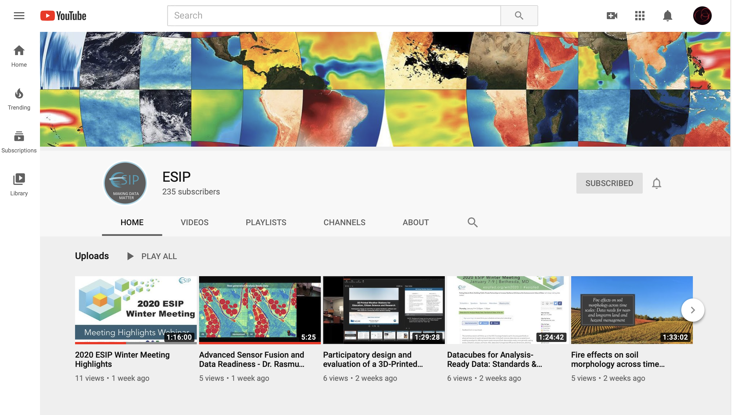
If you want to learn more, the ESIP YouTube channel has videos of sessions as well as a video of winter meeting highlights. Many of the sessions’ presentation materials are available on figshare.

The ESDIS Standards Coordination Office (ESCO) closely monitors and participates in these kinds of activities on behalf of the NASA Earth Science Data Systems (ESDS) program. We’re tasked with raising awareness of current and emerging standards and practices within the NASA Earth science community, encouraging the development of new standards that benefit future development, and in designating standards and practices for use in NASA Earth science data systems.