GIBS products can be used directly from within CartoDB. This can be done by adding a basemap from either “NASA” or a generic X/Y/Z template. Method 1: adding a "NASA" basemap: - While in "Map view", click the "Basemap" drop-down menu and select "Add yours".
- Select the "NASA" tab, then choose a date. Note that this currently defaults to either the Terra/MODIS Corrected Reflectance (True Color) product or the Suomi NPP/VIIRS/Earth Observatory Earth at Night 2012 layer. To use other GIBS products, see the method below for adding a layer via a generic X/Y/Z template.
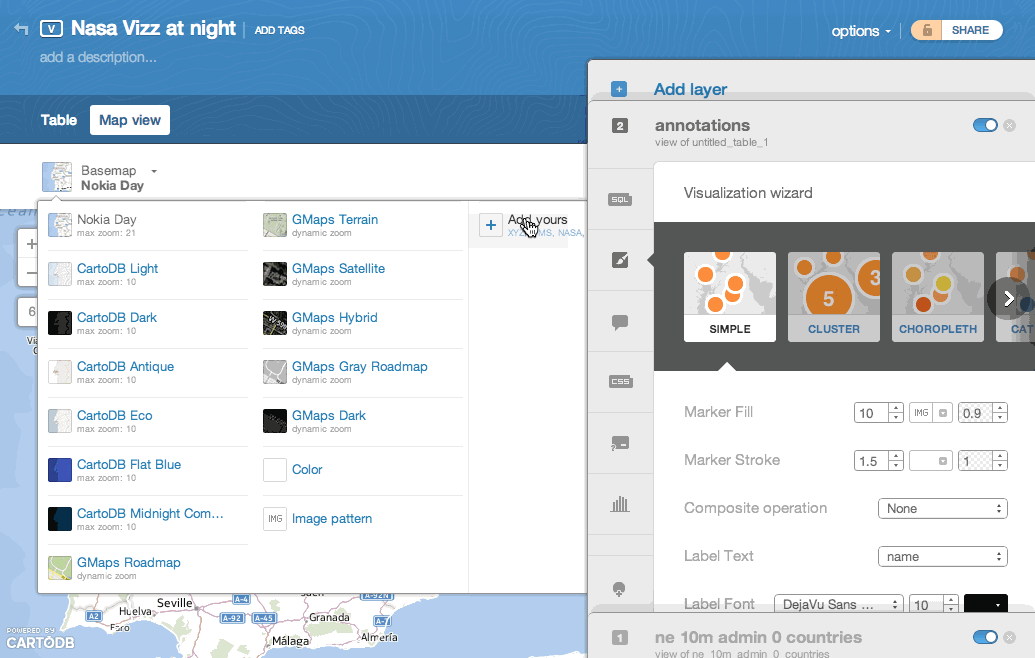
Method 2: adding a GIBS layer from a generic X/Y/Z template - While in "Map view", click the "Basemap" drop-down menu and select "Add yours".
- Select the "XYZ" tab
- Determine which GIBS imagery product you'd like to add, then construct a URL template as follows:
- http://map1gibs.vis.earthdata.nasa.gov/wmts-webmerc/epsg3857/best/<product_name>/default/<date>/<zoom_levels_supported>/{z}/{y}/{x}.<format>
Sample templates: http://gibs.earthdata.nasa.gov/wmts/epsg3857/best/MODIS_Terra_Land_Surface_Temp_Day/default/2014-04-09/GoogleMapsCompatible_Level7/{z}/{y}/{x}.png http://gibs.earthdata.nasa.gov/wmts/epsg3857/best/MODIS_Aqua_CorrectedReflectance_Bands721/default/2014-04-09/GoogleMapsCompatible_Level9/{z}/{y}/{x}.jpg

|