GIBS imagery layers can be imported into ESRI's ArcGIS Online in one of three ways: as a predefined layer, "a Tile Layer", or through an ESRI-run relay service which adds an ArcGIS Server interface layer in front of GIBS. 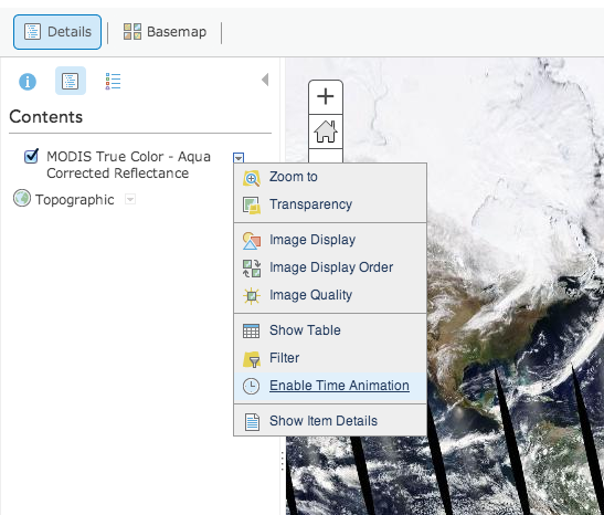
- Create a new map or open an existing one in ArcGIS Online
- Click the "Modify Map" button in the upper right corner
- Click the "Add" menu on the left, then "Add Layer from Web"
- Change the service drop down menu to "A Tile Layer"
 Image Removed Image Removed
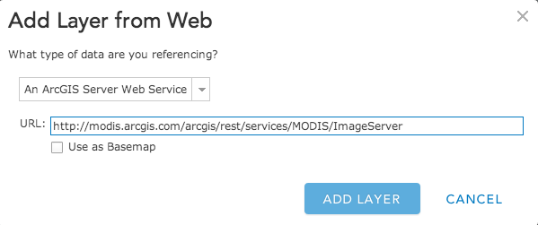
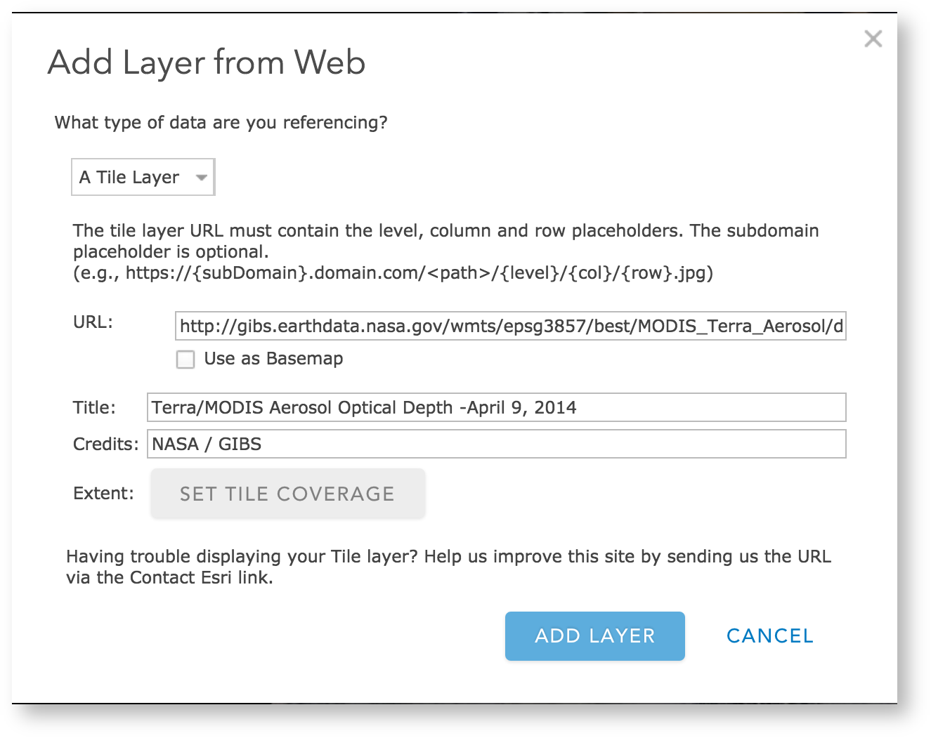 Image Added Image Added - Create a new map or open an existing one in ArcGIS Online
- Click the "Modify Map" button in the upper right corner
- Click the "Add" menu on the left, then "Add Layer from Web"
- Change the service drop down menu to "An ArcGIS Server Web Service"
- Add the following URL: http://modis.arcgis.com/arcgis/rest/services/MODIS/ImageServer and click "Add Layer"
- The default layer is Terra/MODIS Corrected Reflectance and is... difficult to change to others. The time is adjustable at the bottom of the screen
|