Versions Compared

Key

  • This line was added.
  • This line was removed.
  • Formatting was changed.

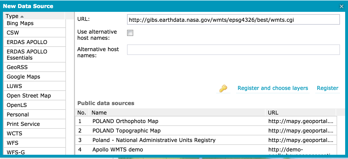
Several Adding GIBS layers to ArcGIS Online as Several GIS and imagery viewing tools support access to NASA's  Global Imagery Browse Services (GIBS) via OGC Web Map Tile Service (WMTS) and Tiled Web Map Service (TWMS) protocols. Listed below is a set of these tools along with instructions and screen captures to help import imagery into them.

...

UI Expand
titleIntergraph Geospatial Portal

Requirements

  • None

Usage

  1. Browse to the Intergraph Geospatial Portal
  2. Click "Data Sources" in large right-hand window
  3. Click 2nd tool icon from left (mouse-over = "Define a data source")
  4. A dialog window will appear.  Select WMTS in Type list in left column
  5. Enter "http://gibs.earthdata.nasa.gov/wmts/epsg4326/best/wmts.cgi" in URL: box
    Image RemovedImage Added
  6. Click "Register and choose layers"
  7. Back in the main window, click the "Data Sources" tab in the left-hand "Map Content" area.
  8. Click + to expand the "NASA Global Imagery Browse Services for EOSDIS" data source.
  9. Select your layers of choosing (e.g. one of our "base layers" and one of our "overlays")
  10. Click "Display" (you'll see "today")
  11. Click "Time" in large right-hand window
  12. Enjoy!


Screenshots

...