| Platform | Instrument | Imagery Layer | Imagery Resolution [1] | Sensor Resolution [2] | Format | Projection(s) [ 4 ] | Temporal Range | Data Product |
|---|
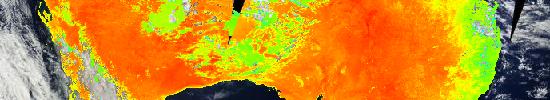
| Terra | MODIS | Land Surface Temperature (Day)  MODIS_Terra_Land_Surface_Temp_Day | 1km | 1km | png | Geographic, Web Mercator | 2012/05/08 -> Present (NRT) | MOD11_L2 v5 |
| Terra | MODIS | Land Surface Temperature (Night) MODIS_Terra_Land_Surface_Temp_Night | 1km | 1km | png | Geographic, Web Mercator | 2012/05/08 -> Present (NRT) | MOD11_L2 v5 |
| Aqua | MODIS | Land Surface Temperature (Day) MODIS_Aqua_Land_Surface_Temp_Day | 1km | 1km | png | Geographic, Web Mercator | 2012/05/08 -> Present (NRT) | MYD11_L2 v5 |
| Aqua | MODIS | Land Surface Temperature (Night) MODIS_Aqua_Land_Surface_Temp_Night | 1km | 1km | png | Geographic, Web Mercator | 2012/05/08 -> Present (NRT) | MOD11_L2 v5 |