Page History
...
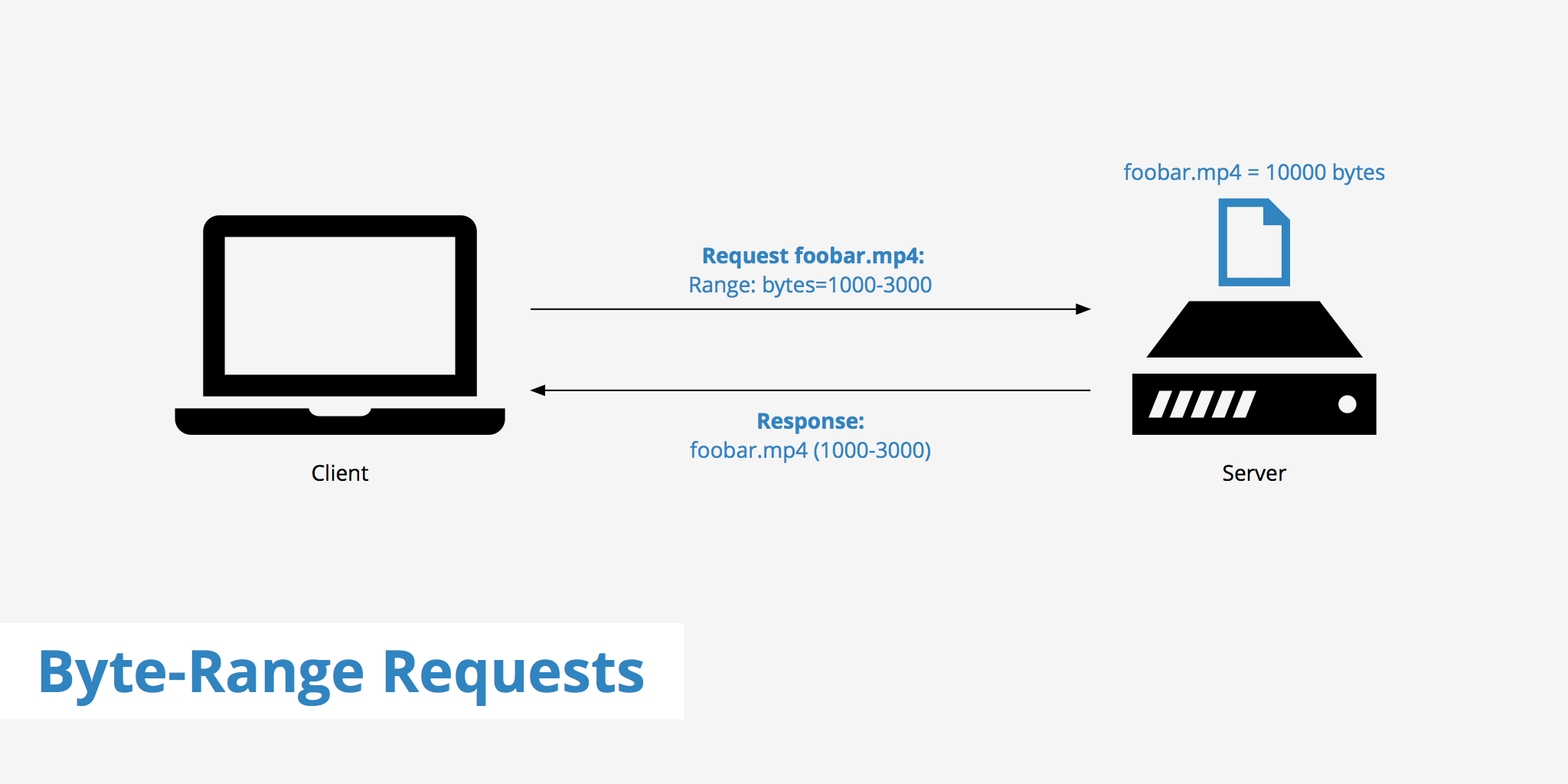
The second is HTTP GET range requests, that let clients ask for just the portions of a file that they need. Together these enable fully online processing of data by COG-aware clients, as they can stream the right parts of the GeoTIFF as they need it, instead of having to download the whole file.
A COG is a regular GeoTIFF file with three features enabled:
1. Internal overviews added
2. Internal tiling is enabled and tile size is properly defined
3. Internal compression is enabled
COG is currently a OGC draft candidate (http://docs.ogc.org/DRAFTS/21-026.html).
...
From LP DAAC:
HLSL30.002 - https://doi.org/10.5067/HLS/HLSL30.002 (C2021957657-LPCLOUD)
HLSS30.002 - https://doi.org/10.5067/HLS/HLSS30.002 (C2021957295-LPCLOUD)
...
Overview
Content Tools