Page History
FIRMS has added additional capability to integrate satellite active fire detection data as streaming web services. Several new geospatial web services are now available to meet the needs of end users in visualizing and analyzing these data in the context of geospatial information in desktop or web mapping applications.
New Web Map Services
In addition to legacy FIRMS Web Map Services (WMS) that provide MODIS and VIIRS active fire detection data for the past 24, 48, 72 hours or the past 7 days, new services are provided that display these data relative to their time since detection. New WMS options enable visualization of cumulative MODIS and VIIRS active fire data for the current calendar year in two temporal classifications that depict the data in its relative time since detection. Please see the WMS information page for FIRMS US/Canada and FIRMS Global for service connection information and tutorials on how to access the services.

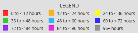 Temporal classifications for the new MODIS and VIIRS active fire detection web map services available in FIRMS.
New Web Feature Services
FIRMS has also introduced new regional Web Feature Services (WFS) that stream the centroids of active fire detection pixels for MODIS and VIIRS as geographic point features. The services allow end users to manipulate and analyze features in the services using a geospatial client. These services are configured to enable access to MODIS or VIIRS active fire data for the past 24 hours or the past 7 days. Please see the WFS information page for FIRMS US/Canada and FIRMS Global for service connection information and tutorials on how to access the services.
https://firms.modaps.eosdis.nasa.gov/usfs/web-services/
...
Overview
Content Tools